A history of Madh Island, Mumbai: from island villages to the film coast
How Madh Island became part of Mumbai: its Koli and Bhandari villages, the Portuguese fort and churches, the Marathas and the British, the wartime bases, the film shoots and the bridge to Versova.
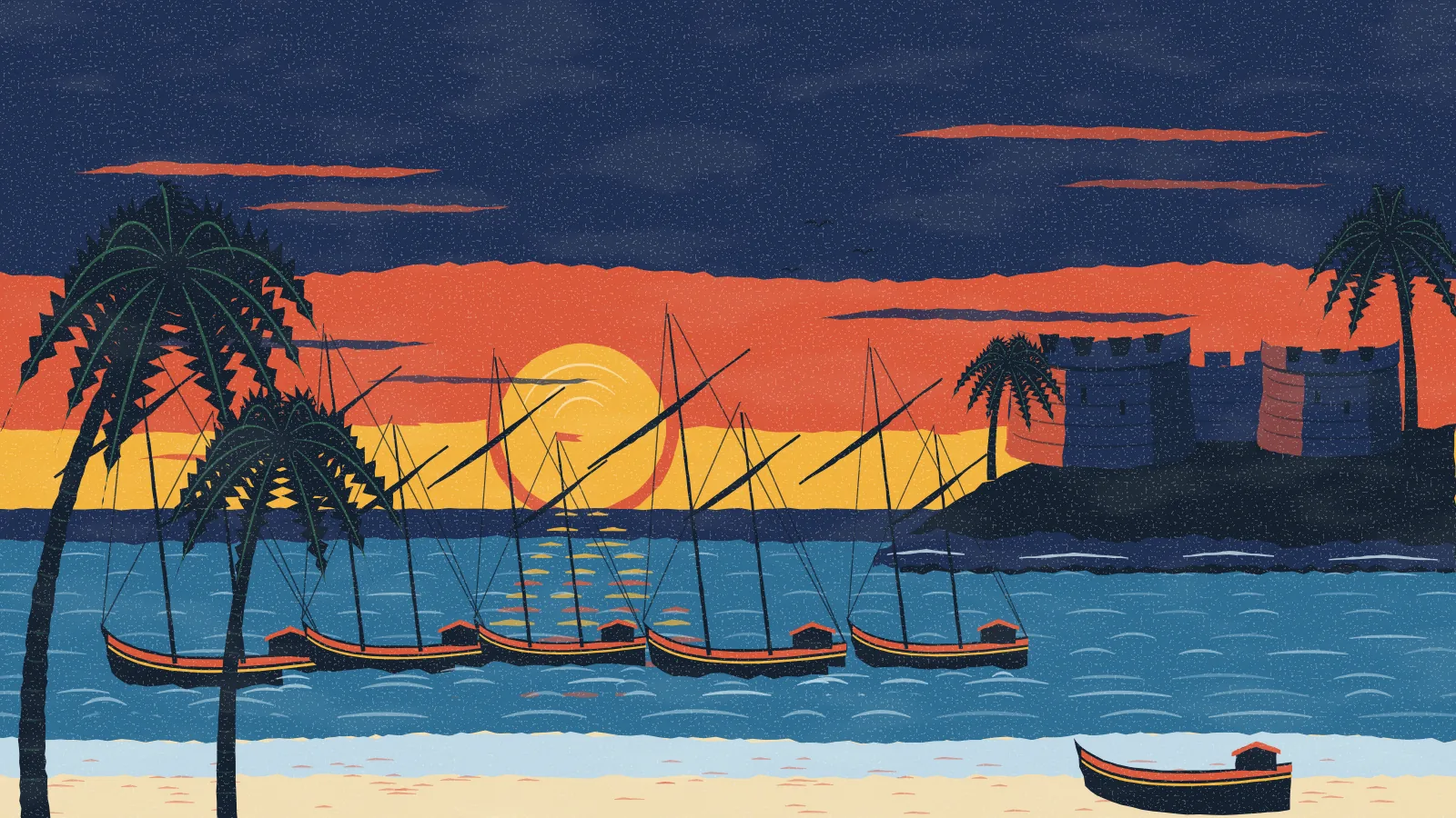
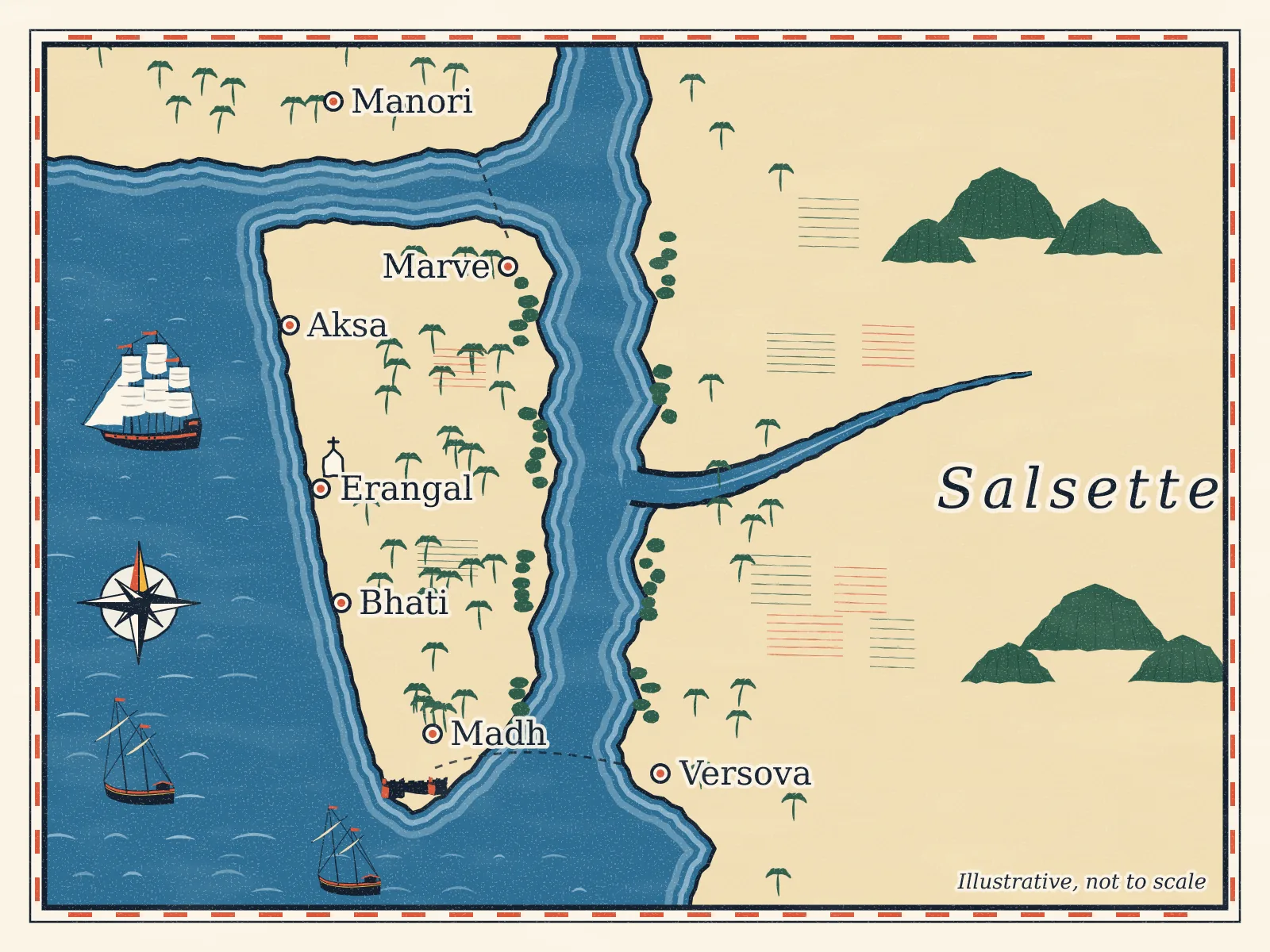
Madh Island is a peninsula on the north-west edge of Mumbai, in the Malad area of the Mumbai Suburban District. It was once a true island, cut off from Malad and the rest of Salsette by creeks. Land reclaimed in the 20th century joined it to the mainland.1 Today it is bounded by the Arabian Sea to the west and south, the Manori–Gorai creek to the north and Malad (Versova) creek to the east.1
Its villages are much older than the city around them. This guide follows them from medieval records, through Portuguese, Maratha and British rule, to the wartime bases, the film shoots and the bridge now planned across the creek.
The name and the earliest records
Local historian Kiran Koli suggests the name comes from medh, a word for tidal marshland, which fits a low island cut through by creeks.2
The villages appear in the Mahikavatichi Bakhar, a medieval chronicle of the north Konkan coast. Erangal is named in it as "Yergan", under an administrator called Singhe Sheshvanshi.3 As Kiran Koli tells it, the chronicle says Raja Bimba, who took control of the Mumbai islands around the end of the 13th century, visited the Harba Devi and Mukteshwar shrines at Madh before sailing on to Mahikavati, today's Mahim.23 A carved gai vasru stone at Erangal's Omkareshwar temple is dated to the 11th or 12th century, when the Northern Shilaharas ruled this coast.3
Like the rest of Salsette, the area was ruled by a line of Hindu kingdoms, the last of them the Shilaharas, and later by the Sultans of Gujarat.4
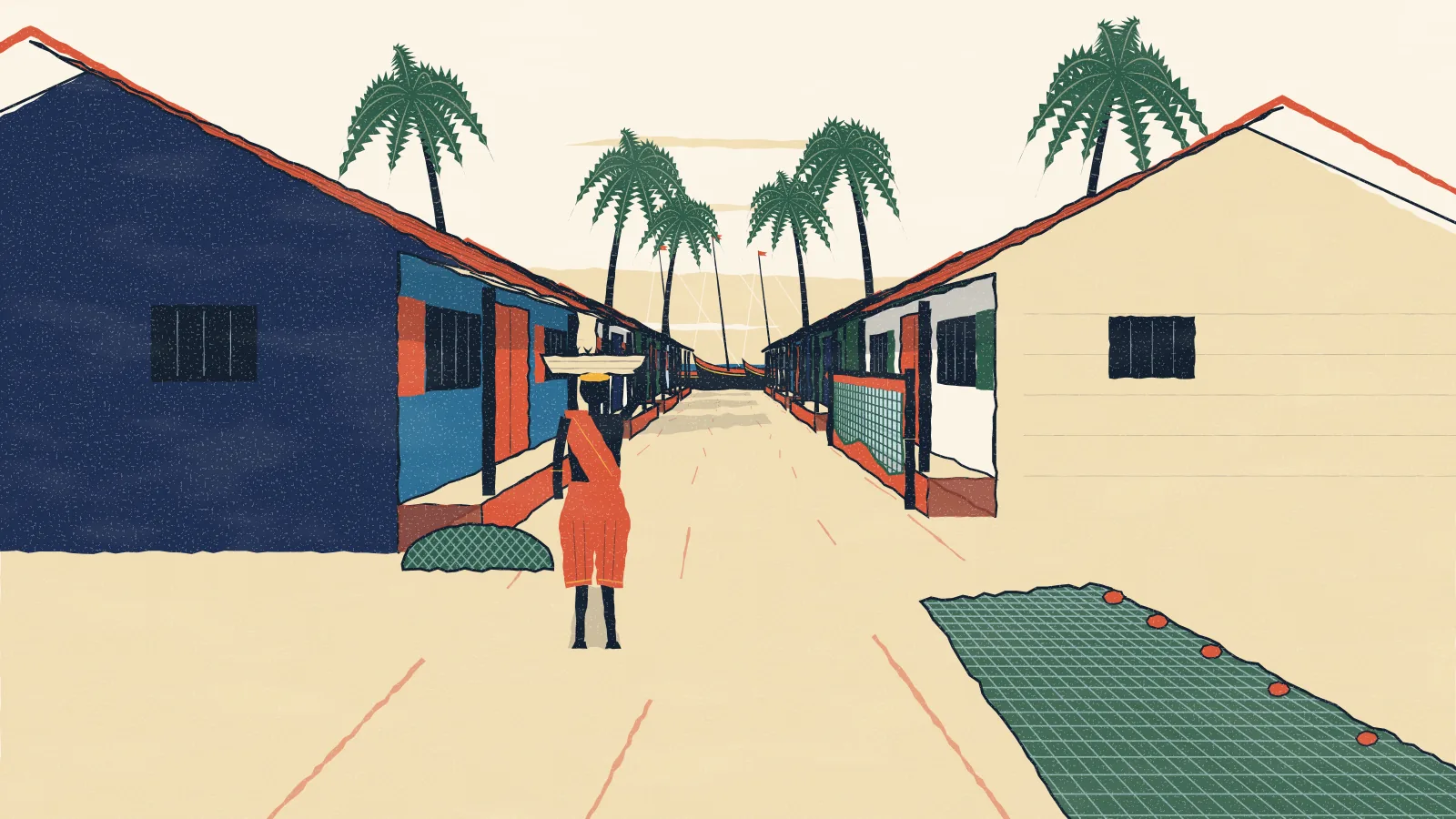
Koli, Bhandari and East Indian villages
Three communities shaped the island, and their villages are still recognisably theirs.
- Kolis are the fishing people of Madh Koliwada, at the southern tip. Most fish the open sea with stake-and-bag nets (dol), and Madh is unusual for drying most of its catch rather than selling it fresh: roughly seven parts in ten.2 Their village goddess is Harba Devi.2
- Sheshvanshi Kshatriya Bhandaris live in Erangal and Aksa, Mumbai's only two villages of that community. They tapped toddy, grew vegetables and fruit, and once took their produce by bullock cart to Byculla market, an overnight journey. Erangal was founded by four families, the Thakurs, Mhatres, Patils and Chaudharis, and its goddess is Hiradevi.3
- East Indian Catholics descend from the Koli and Agri people of Salsette who were converted by Portuguese missionaries in the 16th and 17th centuries.47
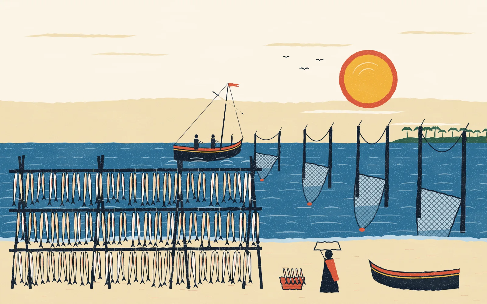
The year still turns on festivals shared across these villages. At Madh, fishermen consult Vetal's shrine at the Kaul ceremony for the season's fishing tides, offer coconuts to the sea at Narali Pournima, and hold Shimga (Holi) for fifteen days. The Gondhal of Harba Devi falls on the first Tuesday after Hanuman Jayanti.2 Each time they sail, boats make their first offering of the day, a coconut, at the dargah of the Sufi saint Pir Baba on Ambu Bet, and offer again at Harba Devi's shrine when they return. The dargah's Urus each February is funded by donations from village households.2
The Portuguese: forts and churches (1534 to 1739)
In 1534 the Portuguese took Salsette and the seven islands of Mumbai from Sultan Bahadur Shah of Gujarat under the Treaty of Bassein, and governed them from Vasai.34 Religious orders followed, and churches went up across the island.4
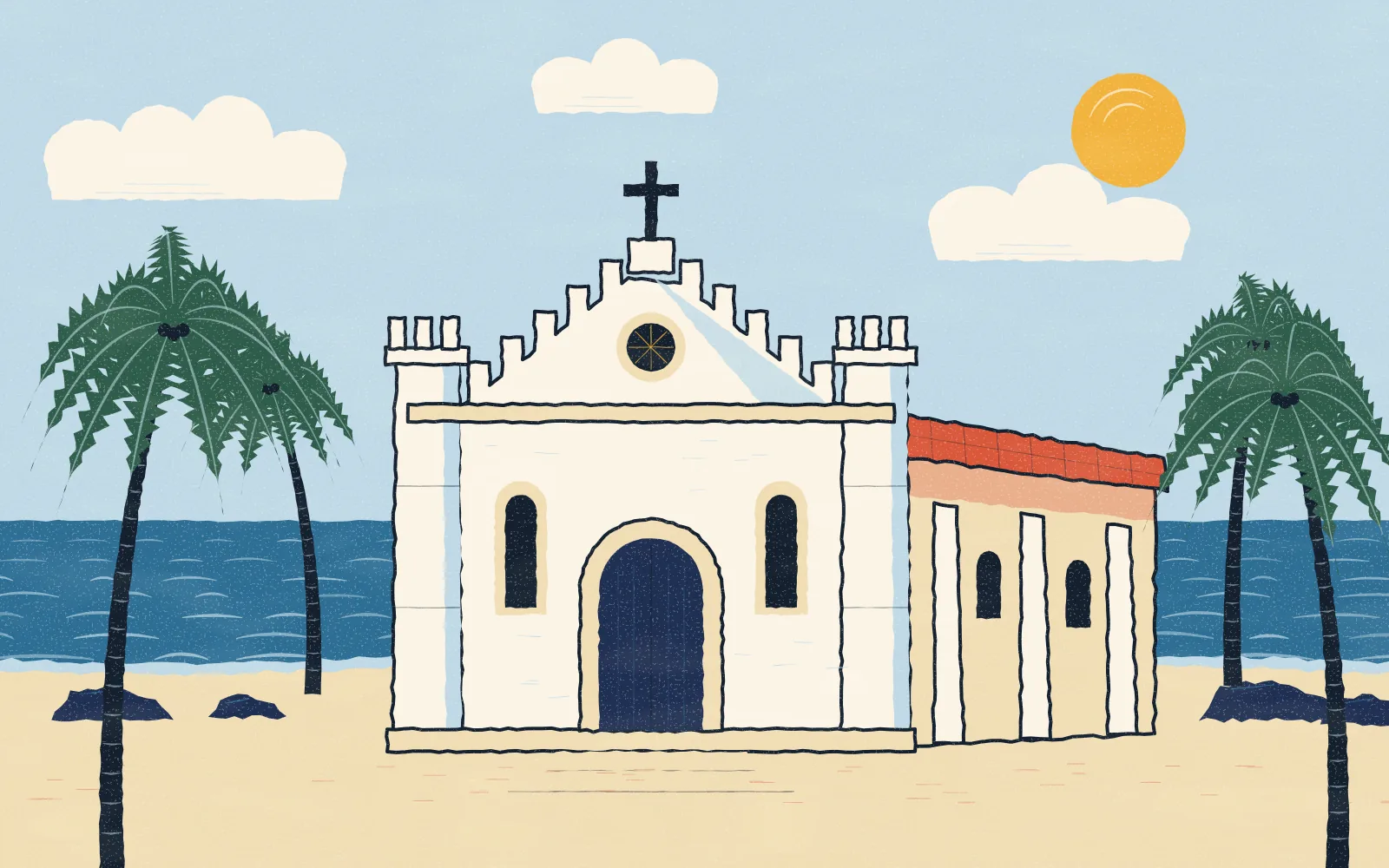
St Bonaventure Church at Erangal was completed in 1575, built of local basalt with a jaggery-and-lime mortar.36 It is one of the oldest churches in the Mumbai area, and its stone facade has battlements like a small fort.6 Before it, a temple with a Shiv linga and a Ganesh image stood on the site; those images were moved beside a nearby lake.3
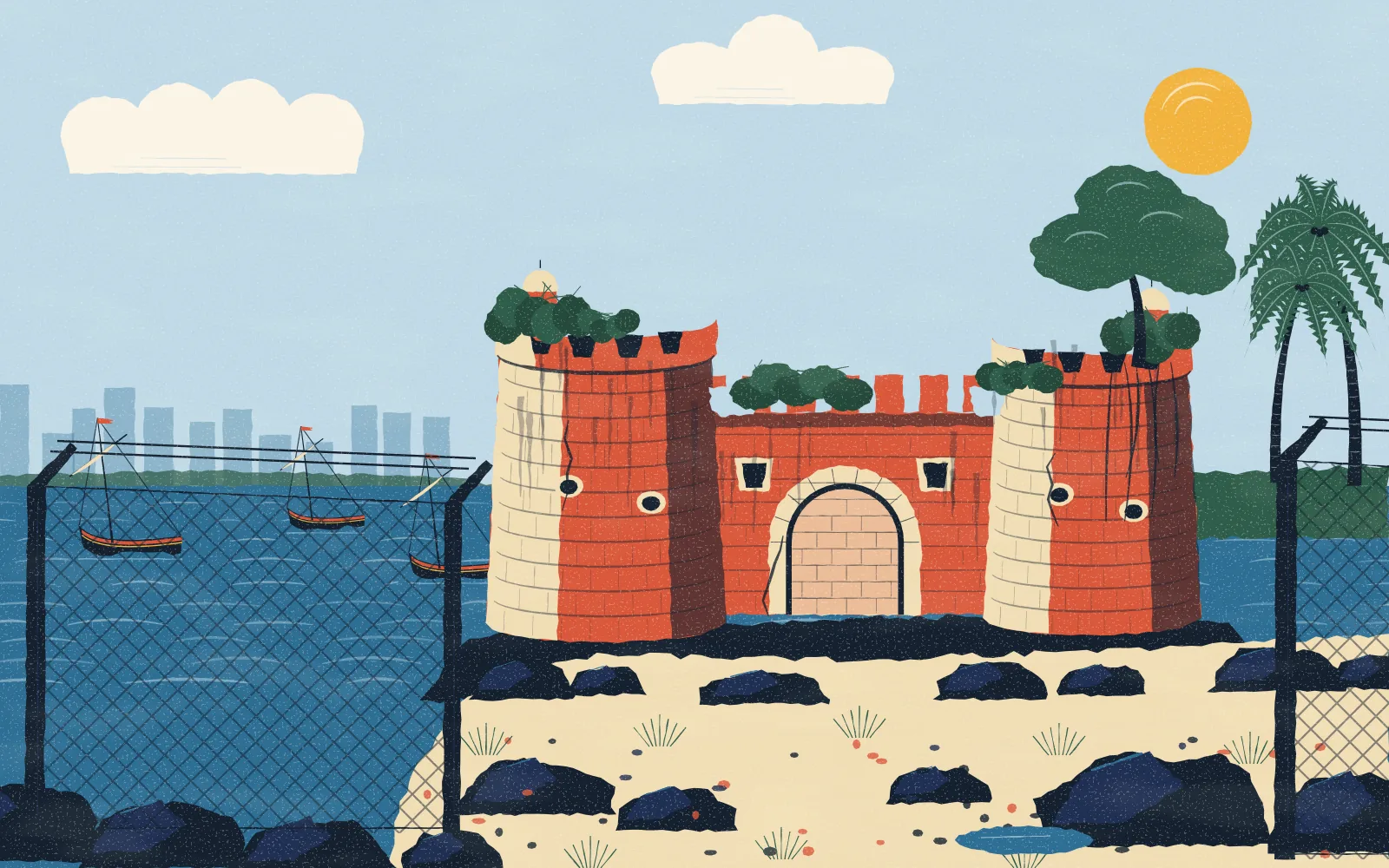
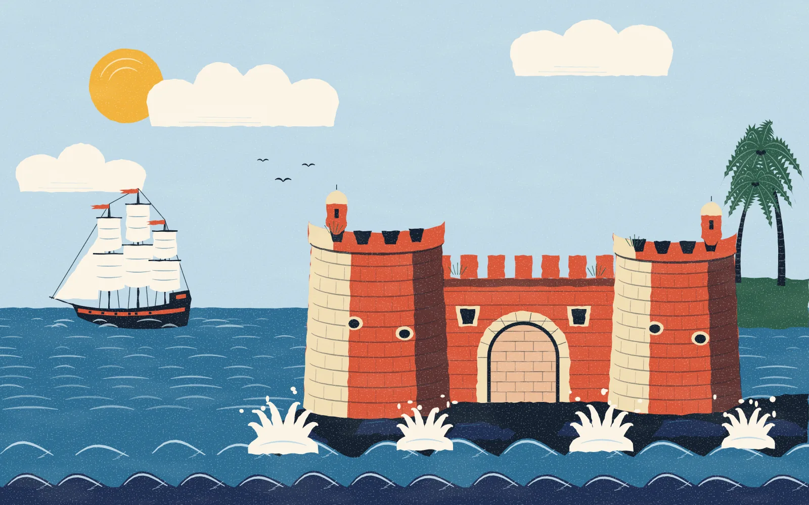
To watch the creek mouth and guard Salsette from the sea, the Portuguese built a small fort at Madh's southern tip, facing Versova. It is usually dated to around 1600.5 Its walls stand 20 to 25 feet high with gun embrasures, and its two gates are now sealed. Above the sea gate is a carved serpent.5
The Marathas (1737 to 1774)
In 1737 the Marathas under Chimaji Appa began their campaign against the Portuguese north of Mumbai. That year his commander Khandoji Mankar attacked the Madh fort twice without taking it, though most of Salsette fell.54 The fort was finally captured in February 1739, the year Vasai fell and the Portuguese were driven out.15
The war emptied the churches. A plaque at Erangal records that regular services there stopped with the Maratha conquest of 1739. The building was left as a ruin for generations, but its January feast was never given up.36
The British (1774 to 1947)
The British East India Company occupied Salsette in 1774, and the Maratha Treaty of Salbai formally ceded it to the Company in 1782.4 Madh came with it.2 The British built offices and homes on the island,2 and the fort was later used as a prison.5
The churches came back to life. The parish church of Our Lady of the Sea serves Madh.13 A heritage writer dates it to 1905 and describes a mural on its front of a fishing boat blessed by Mary and the infant Jesus; locally it is known as Darya Mata.6 At Erangal, the parish priest of Madh restored the ruined St Bonaventure in 1976, and services resumed.3
The Second World War and the bases
The biggest change came in 1939. When war broke out, the British requisitioned land across the island for military use. At Madh they cleared part of Madh Koliwada for a Royal Air Force base.2 Further north they took land for army and navy barracks and built the Dharavali bridge; families displaced from Erangal moved to Valnai, near Orlem, until the war ended.3
The land never went back. The Madh site is now an Indian Air Force station, and the northern site is INS Hamla, an Indian Navy base at one end of Aksa beach.238 The old fort is inside the defence area and closed to the public, though it can be seen from outside.59 Defence land is the reason so much of the island is fenced off today.1
A peninsula of beaches, bungalows and film sets
Through the 20th century, reclamation turned the north of the island into dry land, and Madh became a peninsula joined to Malad.1 Its beaches, Aksa, Dana Pani, Erangal, Silver and Madh, drew city visitors at weekends. Aksa in particular became a popular weekend beach, with about 15,000 visitors on a weekend, and one of Mumbai's most dangerous for swimmers.8
Open land and old bungalows made Madh a favourite of the film industry. The Government of India's film office describes it as "a group of several fishing villages and farmlands", and says many Hindi films and television serials have been shot on the island. Erangal village is a particularly popular location.910
The feasts are bigger than ever. St Bonaventure's feast at Erangal, the Baravi chi Jatra, falls on the second Sunday of January after a nine-day novena. It draws around a lakh of pilgrims, Catholic and Hindu, from across Mumbai and as far as Goa.37 The saint is seen as a guardian against the dangers of the sea, and he is invoked at Bhandari weddings.3
Madh today, and the bridge across the creek
Madh still has two ways in: the long road through Malad and Marve, or the boat across the creek from Versova. Madh Local checked in 2026 that the ferry kept running through the monsoon, but boats can be suspended in storms.
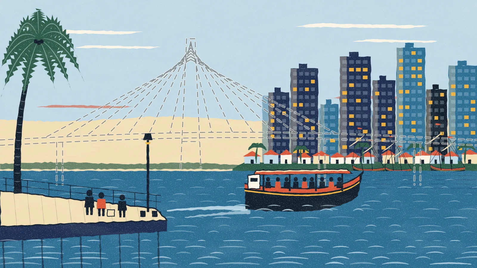
That may change. BMC awarded the contract for a four-lane, partly cable-stayed bridge across the creek, about 2 km long, on 29 August 2024. It would run from Versova to Madh jetty and cut the trip from about 90 minutes by road to about five.11 In September 2026 the Bombay High Court allowed BMC to clear 1,237 mangroves for it, with in-situ restoration after construction.12 Building it is expected to take about three years once work starts.11
Visiting the history respectfully
- The fort is a defence area. Look from outside; entry and photography are not allowed.5
- Churches and temples are places of worship. Dress modestly and keep quiet during services.
- The villages are homes. Ask before photographing people, boats and fish-drying racks.
More on each village in The villages of Madh Island, and how to get here in How to reach Madh Island.
Places in this guide
Sources
- Wikipedia, Madh Island en.wikipedia.org
- Jio Institute heritage archive, Madh Koliwada (research with local historian Kiran Koli, 2024) exhibits.jioinstitute.edu.in
- Jio Institute heritage archive, Erangal village exhibits.jioinstitute.edu.in
- Wikipedia, Salsette Island en.wikipedia.org
- Durg Bharari, Madh / Versova fort durgbharari.in
- Heritage Chronicles, East Indian churches from Madh to Bainel (Mar 2021) heritagechronicles.blogspot.com
- Free Press Journal, Erangal church begins the St Bonaventure novena (3 Jan 2025) freepressjournal.in
- Wikipedia, Aksa Beach en.wikipedia.org
- India Cine Hub (Government of India), Madh Island indiacinehub.gov.in
- Film Facilitation Office, Government of India: Madh Island ffo.gov.in
- Free Press Journal, BMC awaits final clearances for the Madh–Versova bridge (6 Nov 2025) freepressjournal.in
- Free Press Journal, Bombay High Court clears the Versova–Madh bridge (9 Sep 2026) freepressjournal.in
- Archdiocese of Bombay, Our Lady of the Sea, Madh archdioceseofbombay.org
We check each fact against these sources and only state what they support. Something changed or wrong? Tell us.