Madh Fort (Versova Fort): history, and can you visit?
Can you visit Madh Fort (Versova Fort)? The real access rules, where to see it from, the drone and camera rules, and its history, from the Portuguese watch post to the Maratha capture of 1739.
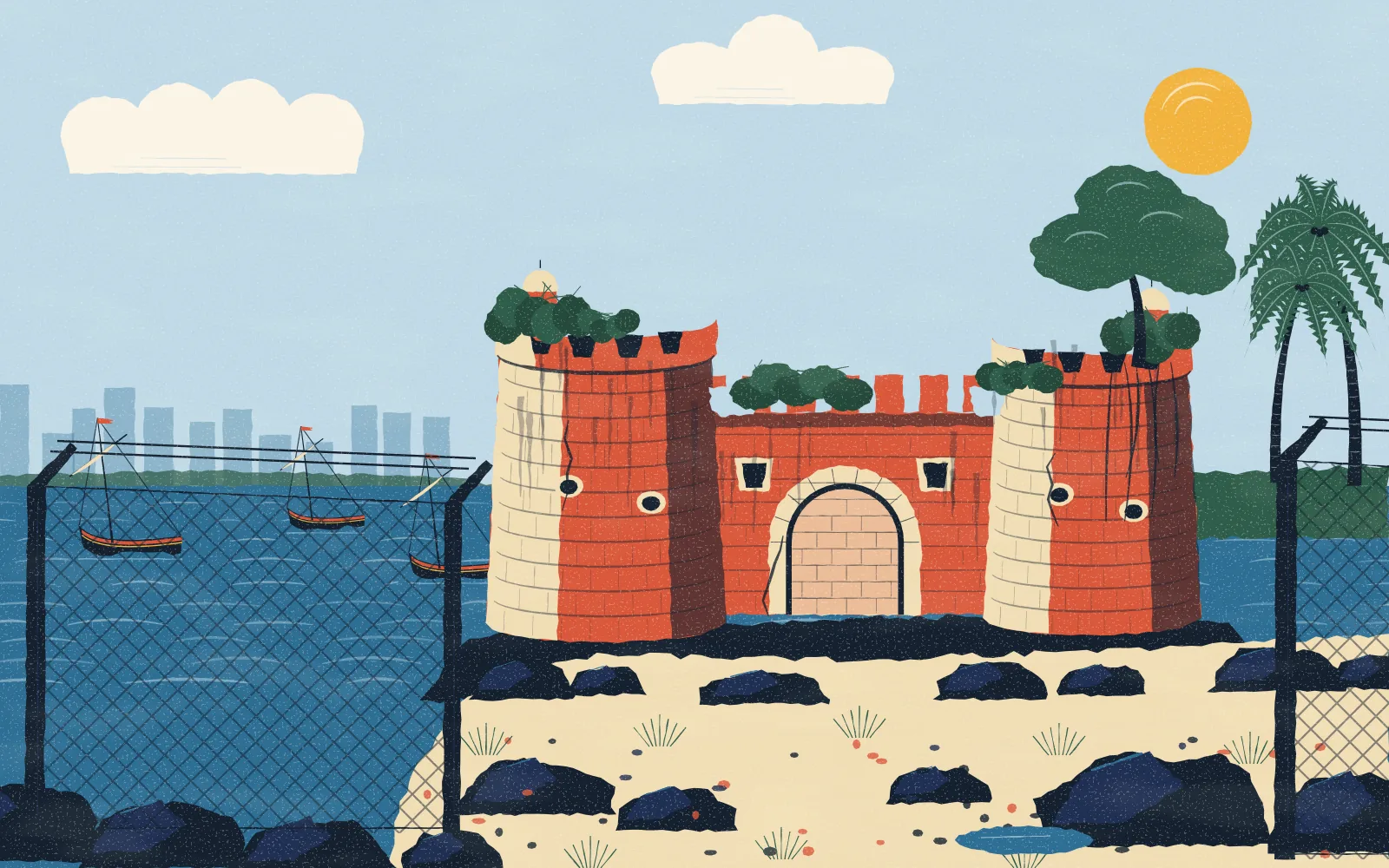
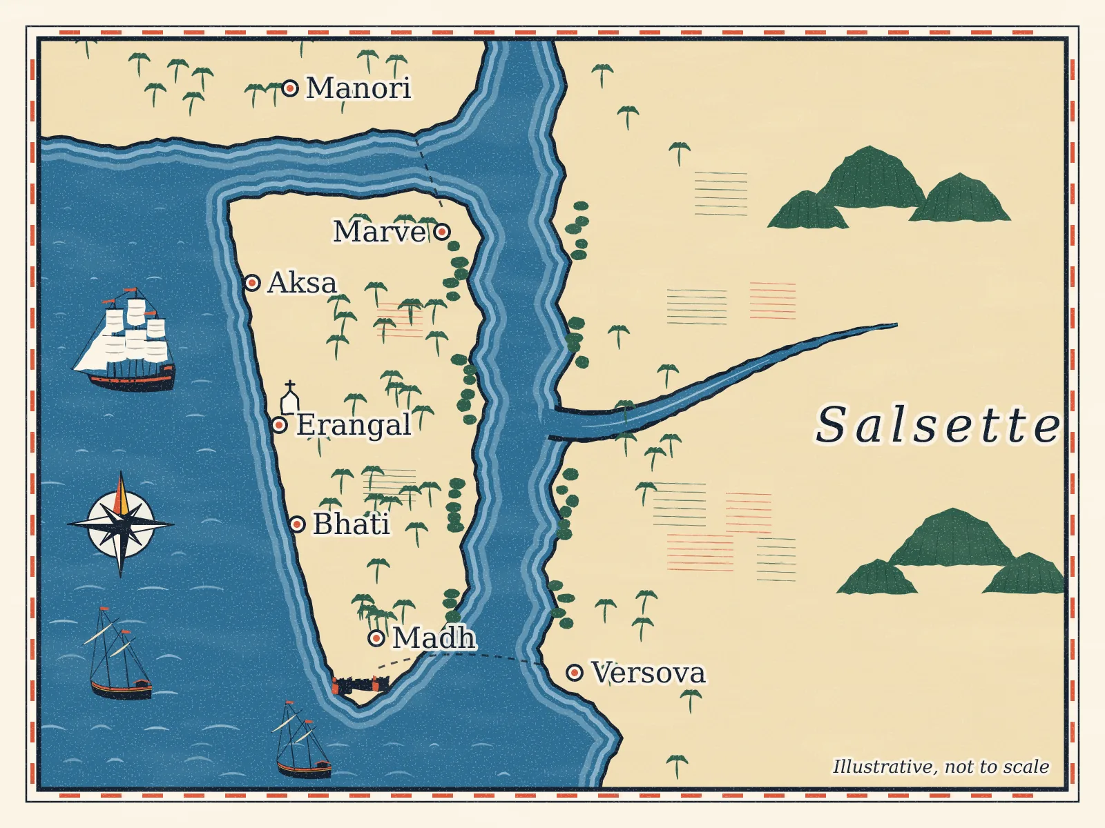
Madh Fort, also called Versova Fort, is a small Portuguese fort on the headland at the southern tip of Madh Island, looking across the mouth of Malad (Versova) creek to Versova.12 It was built as a watchtower, and it is now inside a defence area and closed to the public.245
When it was built, and why
The Portuguese took Salsette, the island Madh lies off, in 1534 and ruled it from Vasai.7 They built this fort at the creek mouth to watch the creek, which mattered for trade, and to guard Salsette against attacks from the sea.2 Wikipedia and a trekking guide date it to the 17th century; a fort-heritage site gives the year 1600 in one place and the early 16th century in another.234
The Marathas, 1737 to 1739
In 1737 the Marathas under Chimaji Appa launched their campaign against the Portuguese north of Mumbai. That year his commander Khandoji Mankar attacked the Madh fort twice. Most of Salsette fell to the Marathas, but this fort held out.2 By early 1739 the Portuguese had decided to pull their men out of Bandra, Versova and Dongri to defend Vasai, and the Marathas took those posts easily.10 Madh Fort fell in February 1739,14 and Vasai itself surrendered on 16 May that year.10
The British
The British occupied Salsette in 1774, including Fort Versova.17 The fort was later used as a prison.23
What it looks like
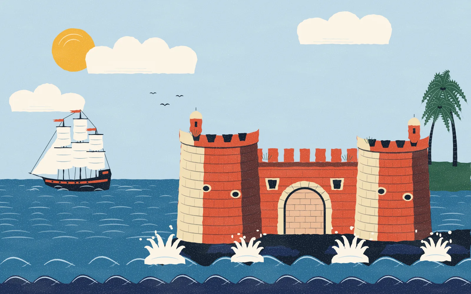
The fort has the sea on two sides and land on the other two.2
- Walls about 20 to 25 feet high, with gun embrasures at intervals.2
- Bastions that are tall and round, with platforms at different levels inside the walls.2
- Two gates, both closed. The sea-facing gate is sealed with stones and has a carved serpent above it. The landward gate is shut, and a locked iron gate blocks the stairs from the right-hand bastion.2
Who controls it now
Every source agrees the fort is inside a defence area, but they name different services. The Government's film office says it is "under defence purview".5 Wikipedia and a 2018 trekking guide place it with the Indian Air Force, and the trekking guide says visiting needs the Air Force's permission.14 A fort-heritage site says it is under Navy control.2 The defence land here goes back to 1939, when the British cleared part of Madh Koliwada for a Royal Air Force base that is now an Indian Air Force station.6
Wikipedia's list of Mumbai forts names the Archaeological Survey of India as its owner,3 but that looks wrong: Madh Fort isn't on the Survey's list of national monuments for the Mumbai circle, or on Maharashtra's list of state-protected monuments.89
Can you visit? Questions people ask
- Is it open to tourists? No. If you see opening hours for the fort online, ignore them: it is inside a defence area, entry is not allowed without permission from the defence authorities, and there is no ticket or visiting time.245
- Can I take photos? Photography is not allowed at the fort.2 Never photograph the Air Force or Navy installations, gates or fences around it.
- Can I fly a drone? Treat it as a no. Under India's Drone Rules, 2021, red zones on the government's airspace map can be flown only with the Central Government's permission, and every flight needs a check of that map first.1112 Next to a defence station, don't fly at all.
- Is there a guided tour? We know of no public tour of the inside.
Seeing it, and what's nearby
- From across the creek. The fort faces Versova, so you can see the headland from the Versova side and from the ferry between Versova and Madh jetty.1 See how to reach Madh Island.
- From the road. It stands on the headland by Madh village.2 Stay on the public road and keep away from fences and gates.
- Nearby. Madh Koliwada, the fishing village, and the temple of Harba Devi, its village goddess, are close by.6 Read more in the villages of Madh Island.
Films and TV serials have been shot at and around the fort.4 For the whole story of the island, read a history of Madh Island.
Places in this guide
Sources
- Wikipedia, Madh Island (Madh Fort section) en.wikipedia.org
- Durg Bharari, Madh / Versova fort durgbharari.in
- Wikipedia, List of forts in Mumbai en.wikipedia.org
- Treks and Trails, forts of Mumbai (Oct 2018) treksandtrails.org
- Film Facilitation Office, Government of India: Madh Island ffo.gov.in
- Jio Institute heritage archive, Madh Koliwada exhibits.jioinstitute.edu.in
- Wikipedia, Salsette Island en.wikipedia.org
- Wikipedia, Monuments of national importance in the ASI Mumbai circle en.wikipedia.org
- Wikipedia, State protected monuments in Maharashtra en.wikipedia.org
- Wikipedia, Battle of Vasai en.wikipedia.org
- Drone Rules, 2021 (red, yellow and green zones; via LegitQuest) legitquest.com
- DGCA Digital Sky platform (airspace map) digitalsky.dgca.gov.in
We check each fact against these sources and only state what they support. Something changed or wrong? Tell us.