Skip to content
Madh Localमढ

Explore Madh Island

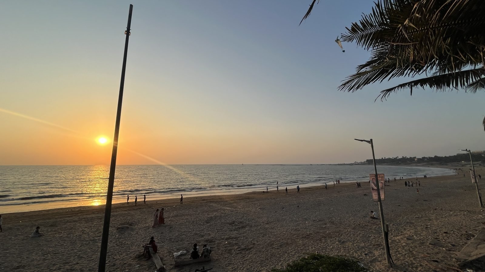
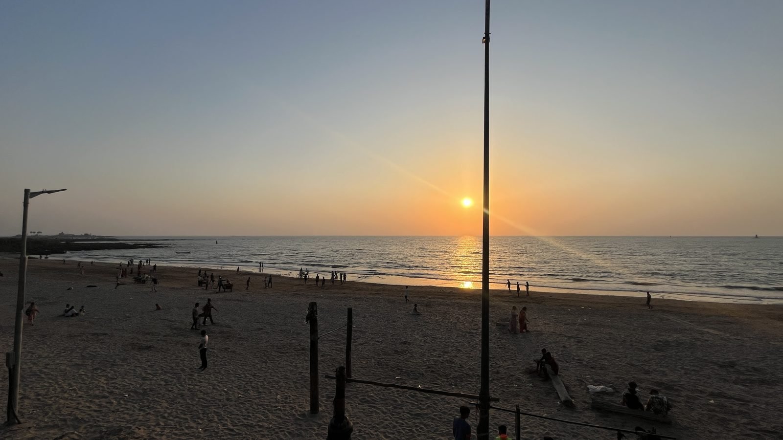
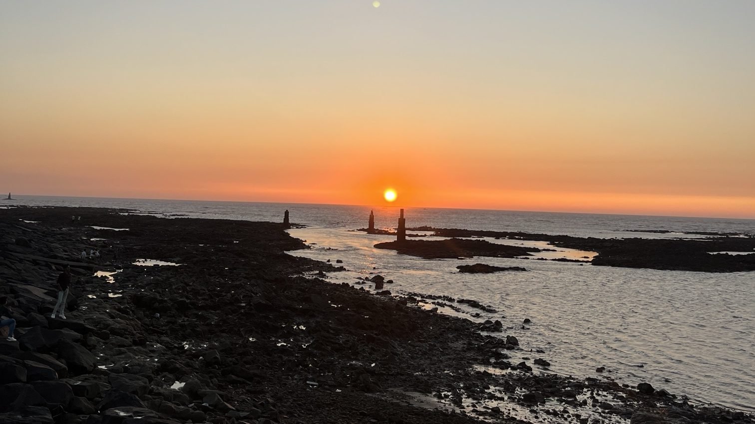
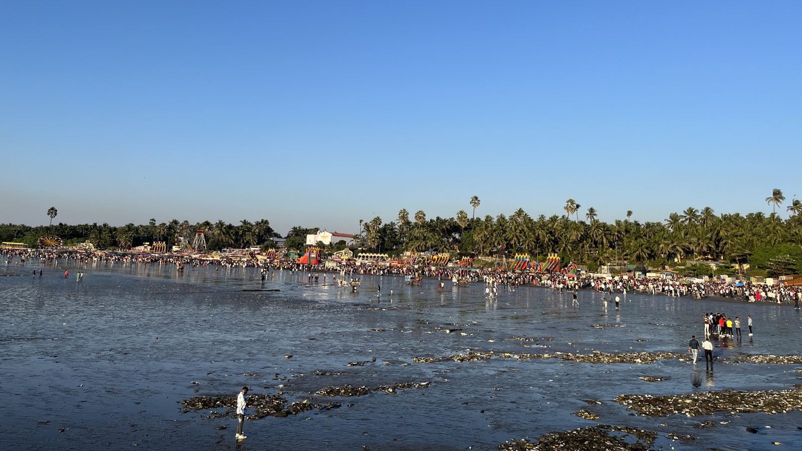
Discover beaches, historic landmarks, local villages and coastal walks around Madh Island, Mumbai.

Map

Solid dot: verified position. Dashed circle: approximate area. Grey: outside Madh Island. Places without a verified position aren’t pinned; use their Directions link.

Local villages and cultural experiences

  • Local villages

    Madh Koliwada (fishing village)

    The traditional Koli fishing settlement on the southern side of the Madh peninsula, between the open sea and the creek. Most residents practise open-sea fishing. It is divided into padas and gallis such as Dongar Pada, Darya Galli and Christian Galli, and Harba Devi is its village deity.

    Where
    Southern Madh Island, near Madh village and Madh jetty (general area only)
    Getting there
    A residential working village: visit respectfully and ask before photographing people, boats or fish-drying areas.
    Directions
    Sources, checked 25 Oct 2026

    Not confirmed yet: lat; lng (no credible approximate centre found); hours; entry; safety; photo.

Ready-made itineraries

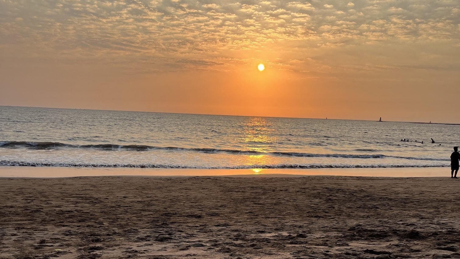
Church and beaches in the morning, the fort (seen from outside only: it is a restricted defence area) and the fishing village after lunch, and Aksa for the sunset walk. Don’t swim at any of these beaches.

  1. Morning
  2. Afternoon
  3. Evening
Open this route (6 stops)

Travel times depend on traffic and the ferry, so we don’t guess them: your map app shows live times. Stops without a verified position are found by name.

Getting here and staying safe

By road

Madh Island is reached by road from Malad West: the Malad–Marve road leads to Marve, and the Marve–Madh Road runs south past Aksa and Erangal to Madh. The nearest railway station is Malad, about 13 km away. BEST buses and autorickshaws run from Malad (check current bus routes before you travel). Driving round from Versova is a detour of about 21–22 km, which can take around an hour and a half.

Sources: en.wikipedia.org, exhibits.jioinstitute.edu.in, en.wikipedia.org, ffo.gov.in, freepressjournal.in, livelaw.in

Versova–Madh ferry

A passenger ferry crosses the creek between Versova jetty and Madh jetty. News reports in 2026 say it stops after midnight and is usually suspended or disrupted in the monsoon. There’s no official timetable, and fares reported online (around ₹5 to ₹10) aren’t an official price list, so check at the jetty. A Versova–Madh bridge was cleared by the Bombay High Court in September 2026; BMC aims to open it by 2029.

Ferry page

Sources: freepressjournal.in, curlytales.com, freepressjournal.in, livelaw.in, nbmcw.com

Beach safety

BMC lists Aksa (Dana Pani), Marve, Manori and Gorai as unsafe for swimming, and says no beach is permanently safe. In the monsoon, BMC asks people to stay away from beaches on high-tide days. Don’t swim at any beach on or near Madh Island, keep out of the water in the monsoon and at high tide, and follow lifeguards and signs.

Sources: portal.mcgm.gov.in, navbharatlive.com, freepressjournal.in

General suggestions (not checked facts)

  • Start early: beaches and roads are quieter in the morning, and the light is good at the church and the shore.
  • Carry water and cash; not every small shop takes UPI.
  • Plan your way back before dark if you’re using the ferry, and check at the jetty in the monsoon.
  • Fishing villages are people’s homes and workplaces: ask before taking photos.

Places to eat

From the Madh Local directory. Check each listing’s status: “Not checked yet” means we haven’t visited.

All restaurants

Information checked against the sources listed on each place. Something wrong or changed? Tell us. Run a tour, homestay or food business? List it free.